Plenary Speakers
Dr. Volker Steinbach - Federal Institute for Geosciences and Natural Resources
|
High-tech metals are key elements for future technologies - How are their global market situations and what are the challenges?
Date: 10 September 2019 Time: 11:00 - 11:30 abstract
To increase the sustainable development in many areas of our societies, new technologies, such as industry 4.0, e-mobility, technologies for renewable energy etc. are necessary. These technologies have an increasing demand on so-called high-tech metals – e.g. lithium, cobalt, germanium, gallium, tantalum, graphite, rare earth and indium. Therefore it is a) necessary to analyze the recent situations and trends in their global markets and b) to carry out research on primary mineral deposits and secondary deposits (recycling) containing these high-tech metals and c) to develop concepts for due diligence in their supply chains. |
Prof Dr. Hugues Lantuit - Alfred Wegener Institute, Helmholtz Centre for Polar and Marine Research
|
Nunataryuk - Permafrost Thaw and the changing Arctic coast, science for socioeconomic adaptation
Date: 10 September 2019 Time: 11:30 - 12:00 abstract
Permafrost coasts in the Arctic make up 34% of the world’s coasts and represent a key interface for human-environmental interactions. These coasts provide essential ecosystem services, exhibit high biodiversity and productivity, and support indigenous lifestyles. At the same time, this coastal zone is a dynamic and vulnerable zone of expanding infrastructure investment and growing health concerns. Permafrost thaw, in combination with increasing sea level and changing sea-ice cover, expose the Arctic coastal and near shore areas to rapid changes . The release of previously frozen organic carbon and its transformation into greenhouse gases may push the global climate warming above the 1.5 °C targeted in the COP21 Paris Agreement. The pressing challenge is to quantify and project organic matter, sediment and contaminant fluxes from thawing coastal and subsea permafrost and to accurately assess the implications of permafrost thaw for the indigenous populations, the local communities and the local environment in the Arctic coastal areas. Nunataryuk is an EU Horizon 2020 funded collaborative project, with the main objective of determining the impacts of thawing land, coast and subsea permafrost on the global climate and on humans in the Arctic and of developing targeted and co-designed adaptation and mitigation strategies. In this presentation, we introduce the approach taken by the project to (1) develop a quantitative understanding of the fluxes and fates of organic matter released from thawing coastal and subsea permafrost; (2) assess what risks are posed by thawing coastal permafrost and pollution, to infrastructure, indigenous and local communities and people’s health; and (3) use this understanding to estimate the long-term impacts of permafrost thaw on global climate and the economy. |
Vitor Correia - International Raw Materials Observatory
|
The voice of Earth scientists in the XXI century
Date: 11 September 2019 Time: 13:30 - 14:00 abstract
The world around is changing faster than ever before. Population growth, climate change and new technologies are designing a new roadmap, full of crossroads, that will keep society and politics under stress in the years to come. Because geology is weaved in so many aspects of modern life, many of us believe that geosciences will play an increasingly important role, contributing to tackle a wide range of serious problems, including adaptation to climate change, provision of fresh water, mitigation of natural disasters, control of soils erosion, provision of raw materials and provision of energy.But the social-politic context is also changing, and the world is now populated with headlines, opinions and fake news that influence politics and shape people’s reaction. In this context, it is vital that Earth scientists are recognised as an independent, unbiased, scientifically based voice. This calls for an urgent repositioning of professional and academic Earth scientists, supported by appropriate standards on ethics, knowledge, experience and continuing professional development. |
Alecos Demetriades - IUGS Commission on Global Geochemical Baselines
|
Global Geochemical Baselines for Resource and Environmental Management
Date: 11 September 2019 Time: 14:00 - 14:30 Abstract
It is indeed unbelievable, we have reached the 21st century with humankind making great advances in technology and space research, but we do not yet have sufficient knowledge or geochemical data to be able to assess or predict with any accuracy the implications of human actions on the environment and the primary mineral resources of our home planet Earth. It is interesting to quote a two sentence statement from the 1992 Global Change Report: “The availability of data and how they will be managed are two critical facets of future global change research. Global science is data-limited, and therefore new efforts must be engaged which foster the development and validation of global data sets.” Twenty-seven years later we still do not have this very valuable geochemical data set. To fill this gap the mandate of the International Union of Geological Sciences is the establishment of a global network of geochemical reference samples, using a standardised method of sample collection and preparation, and laboratory analysis. In order to begin systematic international geochemical mapping, it is necessary to establish a primary global geochemical reference network, analogous to a geodetic grid. Wide-spaced sampling is required over the entire land surface, including regions already surveyed and regions where there is low probability of any geochemical mapping being carried out in the near future. The samples collected will serve as analytical reference materials, so strict procedures must be followed, and adequate quantities obtained and retained for future use. The primary reference network, covering the terrestrial part of the Earth is based on 7356 grid cells of 160x160 km. A five or eight random sampling design is recommended within each 160x160 km grid cell. Europe carried out the first multi-sampling media continental-scale survey for the establishment of the European geochemical reference network. The project is known as the FOREGS Geochemical Atlas of Europe. It covered 26 European countries and an area of about 4.25 million km2. The five random sampling design was used, as this is more cost- and time-effective. Each random point within the 160x160 km grid cell was referred to the nearest second order catchment basin of <100 km2 in area, and from which samples of active stream sediment, stream water and residual soil (top and bottom) were collected. From the adjoining large third order catchment basin of 1000 to 6000 km2 in area a floodplain sediment sample was collected. In total, 799 stream sediment, 807 stream water, 845 residual topsoil, 788 residual subsoil, and 743 floodplain sediment samples were collected; the average density of each sampling medium is approximately 1 sample/4700 km2. All solid samples were prepared at the same laboratory, and analysed for the same suite of determinands at the same laboratory using a strict quality control scheme. The resulting geochemical maps displayed the variable geochemical background variation of each determinand, and the geochemical baseline at the end of the twentieth century was established for Europe. The results apart of their use for environmental purposes, the continental-scale patterns revealed anomalous or elevated element concentrations in the vicinity of most of the known metallogenic provinces. Some anomalous element concentrations warrant follow-up investigation, and this is where the global geochemical baseline project is linked to the IUGS initiative Resourcing Future Generations. Its long-term goal is to ensure the supply of mineral, energy and water resources for the global society for the present and future generations of humankind. |
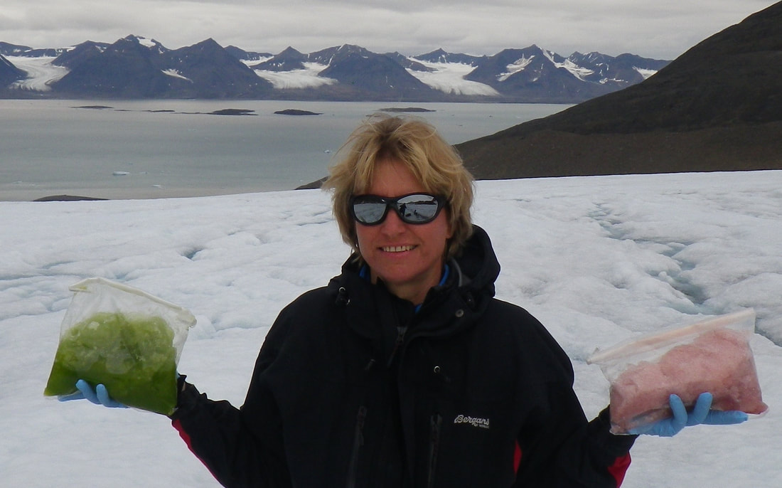
Prof. Dr. Liane Benning - German Research Centre for Geosciences, GFZ
|
The Great Melting: How Small Living Things Affect Global Processes
Date: 12 September 2019 Time: 10:45 - 11:15 Abstract
The melting of snow and ice in polar regions and the associated sea level rise are controlled by changes in albedo. On the Greenland Ice Sheet (GrIS) such changes are primarily a consequence of increased delivery of light absorbing particulates that include black carbon (soot), mineral dust and as we have recently shown, also pigmented snow and ice algae. I will discuss how close interactions between microbes, soot and minerals in highly dynamic snow-ice transition zones play the crucial role in reducing albedo and enhancing melting. As climate warms, the biologically driven processes will increasingly contribute to the darkening of the GrIS, and further accelerate melting, yet these effects are currently not included in predictive global numerical models, and we are working at rectifying this so as to better predict how climate driven enhanced melting affects global sea level changes. |
Anne Glerum - German Research Centre for Geosciences, GFZ
|
Geodynamics of complex plate boundary regions: Insights from numerical models of convergent eastern Mediterranean and divergent east African plate tectonics
Date: 12 September 2019 Time: 11:15-11:45 Abstract
Establishing how dynamics in the Earth’s mantle drive the tectonic evolution of the crust is a key objective in modern solid-earth sciences. Numerical modeling can link the interaction between deep mantle, lithosphere and crust with surface observations. Especially in plate boundary zones, such surface observations are thought to contain signal of the underlying geodynamic processes. In this talk, I will focus on two complex plate boundary regions: the Mediterranean and the East African Rift System (EARS). The long and complicated subduction history of the Mediterranean zone implies interaction between the surface and the sublithospheric mantle with the subducting slabs acting as stress guides. In east Africa, mantle dynamics and lithospheric heterogeneity most likely created the conditions for continental rifting to occur. As the relations between the tectonic complexity of both Nubian plate boundary zones and the driving geodynamic processes are unresolved, my numerical models of these regions include a comprehensive treatment of the crust and lithosphere. By comparison of the velocities predicted by these state-of-the-art models to geodetic data, I expose the importance of mantle processes in producing the surface motions of the eastern Mediterranean and demonstrate a mechanism behind the rotation of the large Victoria microplate in the EARS. |
